Environment & ecology · Atlas of Telangana
Tiger reserves of Telangana
Amrabad and Kawal
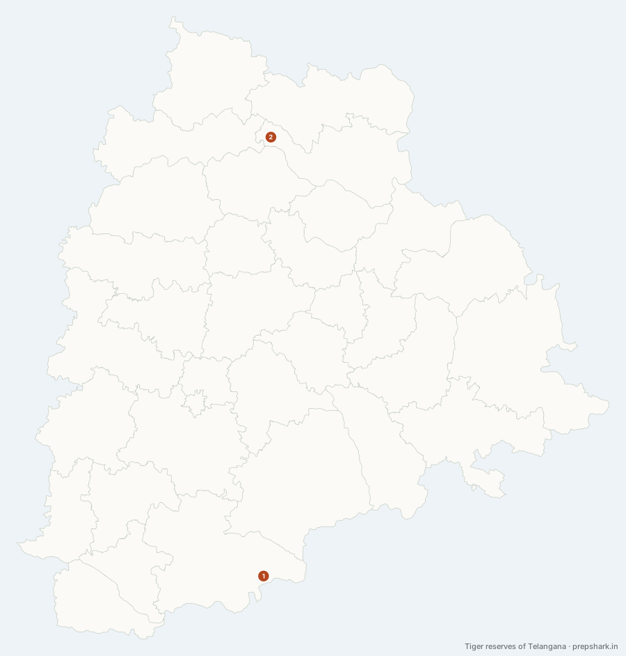
Numbered as on the map
The 2 on the map
1. Amrabad Tiger Reserve
Nagarkurnool
Known forThe northern Nallamala, above the Krishna gorge — one of India’s largest tiger reserves.
The Nallamala hills are the one piece of Telangana that never became farmland, because the Krishna cut a gorge through them and the plateau above it is too broken and too dry to plough. Amrabad is that plateau. It was the northern half of the Nagarjunsagar–Srisailam reserve until Andhra Pradesh was divided in 2014, and the split left Telangana with a reserve that is still among the largest in the country.
SettingSouthern tropical dry deciduous forest · Nallamala quartzite · Krishna gorge · Chenchu homeland
For the examCreated out of the northern part of Nagarjunsagar–Srisailam when the state was divided. The Chenchu, a particularly vulnerable tribal group, live within it — which is why Amrabad is the standard Indian case for the conservation-versus-rights question.
2. Kawal Tiger Reserve
Mancherial
Known forThe Godavari’s north-bank teak forest, and the link to Tadoba.
The teak forest on the north bank of the Godavari, upstream of the coalfield. Kawal matters less for the tigers it holds than for where it sits: it is the southern anchor of the corridor running up through Tadoba-Andhari in Maharashtra, so a tiger moving between the two central Indian populations passes through here or does not move at all.
SettingSouthern dry deciduous teak · Godavari catchment · Kadem and Peddavagu valleys
For the examDeclared a tiger reserve in 2012. Its value is as a corridor terminus rather than as a population centre — the Tadoba–Kawal link is the examinable fact.
Keep going