Skip to content

Chapter 12Updated

Geography of Hyderabad Metropolitan Region

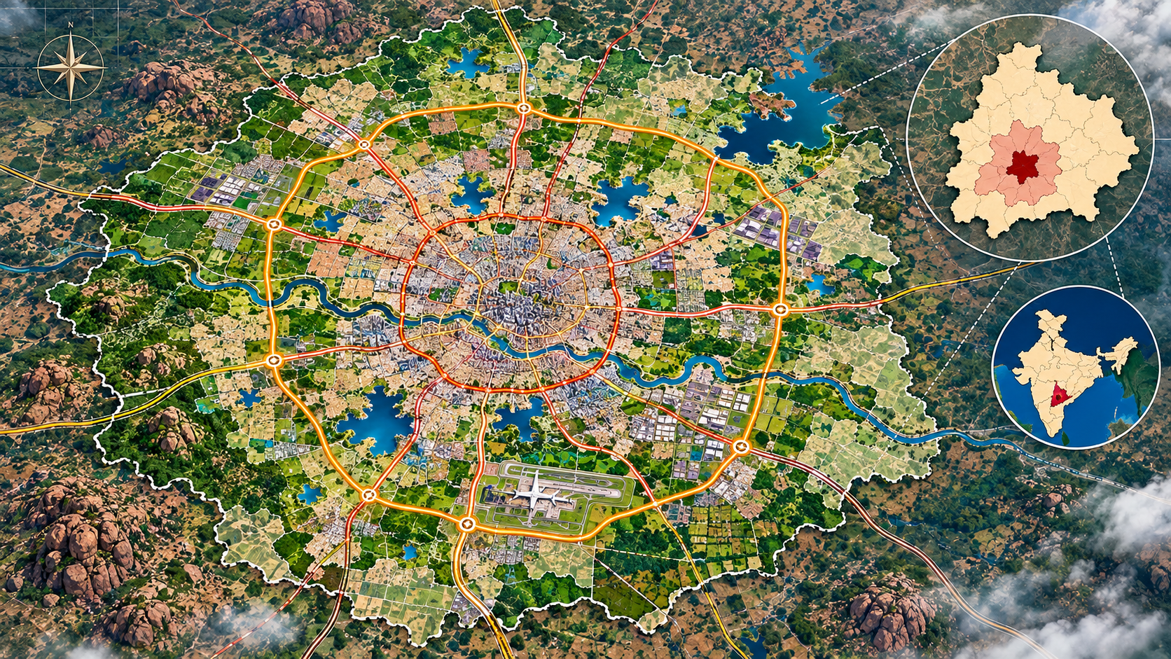
How Hyderabad grew from a Qutb Shahi city into Telangana's primate metropolis, how its structure, industry and transport are arranged, and how GHMC, HMDA and MDP–2031 govern and plan it.

  • 10sections
  • ~61min read
0%

0 of 14 sections

~61 min read

~61 min read

Start hereAbout 1 min

Chapter Overview Map

In this section: 1 mind map

Figure 12.1Mind map: Geography of the Hyderabad Metropolitan Region
Hyderabad Metropolitan Region
  1. 12.1–12.2 Growth and transformation

    • A Qutb Shahi city on the Musi grew into a twin city with Secunderabad.
    • Railways, reservoirs, public-sector units and information technology (IT) parks each pushed the city outward in new directions.
    • The historical capital became a metropolitan region reaching the Outer Ring Road (ORR) and beyond.
  2. 12.3 Primacy

    • Urban primacy means one city is far larger and more important than the others in its urban system.
    • The Hyderabad urban agglomeration held about 56% of Telangana's urban population in 2011.
  3. 12.4–12.5 Structure and economy

    • A historic core south of the Musi, a central business area to the north and a western IT corridor.
    • Older industrial estates ring the core; pharma lies north-west and life sciences north-east.
  4. 12.6 Transport

    • Radial national highways meet the 158 km ORR around the city.
    • The Metro (three operational lines) and Multi-Modal Transport System (MMTS) suburban trains move people inside the region.
  5. 12.7–12.9 Problems, planning and global links

    • Rapid growth strains water, drainage, lakes, traffic and housing.
    • The Greater Hyderabad Municipal Corporation (GHMC) runs municipal services.
    • The Hyderabad Metropolitan Development Authority (HMDA), successor to the older Hyderabad Urban Development Authority (HUDA), plans the wider region under the Metropolitan Development Plan–2031.
    • Heritage, business travel and international firms make Hyderabad a tourist centre with growing global connections.
  6. Don't confuse

    • Hyderabad district, the GHMC area and the HMDA region are three different areas of very different size.
    • An approved or proposed Metro line or ring road is not an operational one.

Each branch names the sections it summarises; notice how growth, structure, transport and planning build on one another.

Inside this chapter

What Geography of Hyderabad Metropolitan Region covers

  1. Chapter Overview Map
  2. Evolution and Phases of Urban Growth of Hyderabad
  3. From Historical City to Modern Cosmopolitan Megapolis
  4. Primacy of Hyderabad in Telangana's Urban System
  5. City Structure and Spatial Expansion
  6. Industries, Industrial Estates and Economic Geography
  7. Urban Infrastructure and Transport — ORR, Metro and Metropolitan Connectivity
  8. Urban Problems and Metropolitan Challenges
  9. Metropolitan Planning and Governance — GHMC, HUDA, HMDA and Metropolitan Development Plan–2031
  10. Hyderabad as a Tourist Centre and Global City
  11. Locate & Recall — Hyderabad Metropolitan Map Practice
  12. Memory and Recall Review
  13. Rapid Revision Sheet
  14. Notes
All 12 chapters in Telangana Geography
  1. Geographical Setting and Extent of Telangana
  2. Physiography, Relief and Drainage of Telangana
  3. Climate of Telangana
  4. Soils, Forests and Wildlife of Telangana
  5. Minerals, Energy Resources and Power Geography of Telangana
  6. Agriculture, Dryland Farming and Drought in Telangana
  7. Irrigation, Groundwater and Water Conservation in Telangana
  8. Industries, IT, Tourism and Traditional Industries of Telangana
  9. Transport Networks and Regional Connectivity of Telangana
  10. Population, Demographic Patterns and Tribal Geography of Telangana
  11. Urbanisation, Urban Growth and Migration in Telangana
  12. Geography of Hyderabad Metropolitan Region

Open the Telangana Geography library

In the official syllabus