Start hereAbout 1 min
Chapter Overview Map
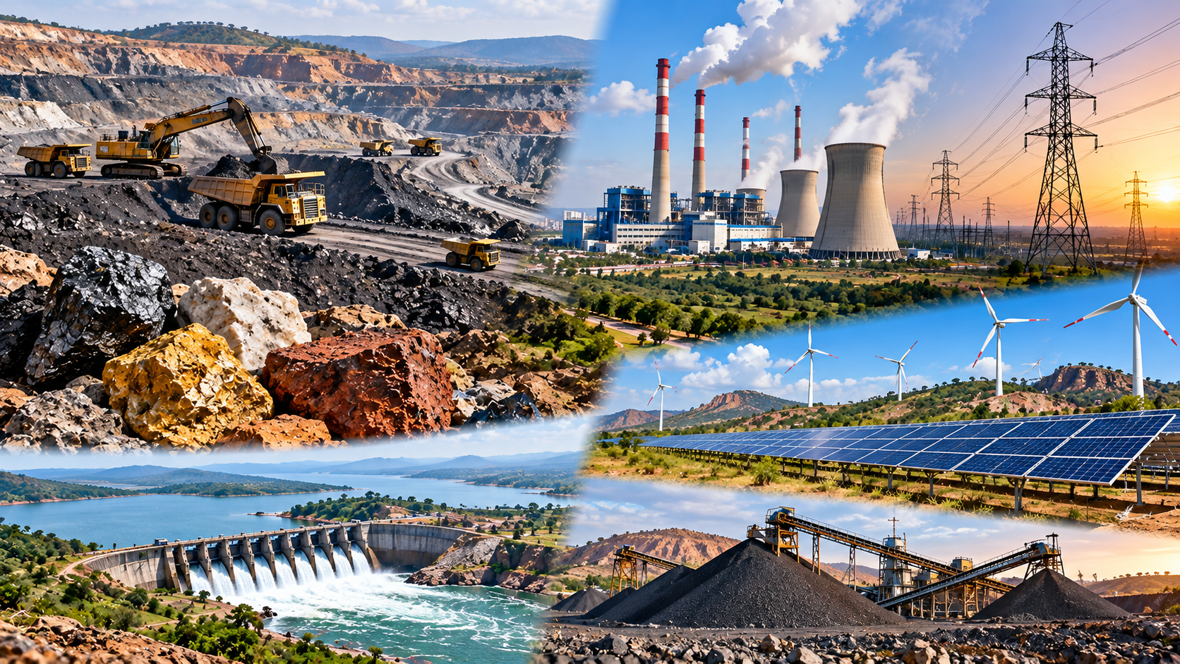
Minerals, Energy and Power Geography of Telangana
5.1 Resource setting
- Ancient crystalline rocks, younger sedimentary basins and the Gondwana valley each hold different minerals.
- Minerals are grouped as metallic, non-metallic and energy minerals.
5.2 Coal and the Godavari Valley Coalfield
- Coal lies in the Pranhita–Godavari valley in the north and east.
- Singareni Collieries Company Limited (SCCL) mines it, mostly from opencast mines.
5.3–5.5 Iron ore, limestone and other minerals
- Iron ore is known but not mined in recent years.
- Limestone feeds the cement plants of Nalgonda–Suryapet, Tandur and the Godavari belt.
5.6 Thermal power
- Coal-based stations cluster on the Godavari coal belt, with Yadadri near the Krishna.
- Some are State plants and some are Central (NTPC) plants.
5.7–5.8 Hydro power and the changing mix
- Large hydro stations stand on the Krishna; Pochampad is on the Godavari.
- Solar now forms most of the State's renewable capacity.
Don't confuse
- A resource is what geologists estimate; a reserve is the part that can be mined profitably.
- Megawatts (MW) measure capacity; million units (MU) measure electricity actually generated.
Notice how the branches follow the chapter: where resources occur, how they are used for power, and what changes the pattern. The Don't confuse branch holds the two distinctions used throughout.