Start hereAbout 1 min
Chapter Overview Map
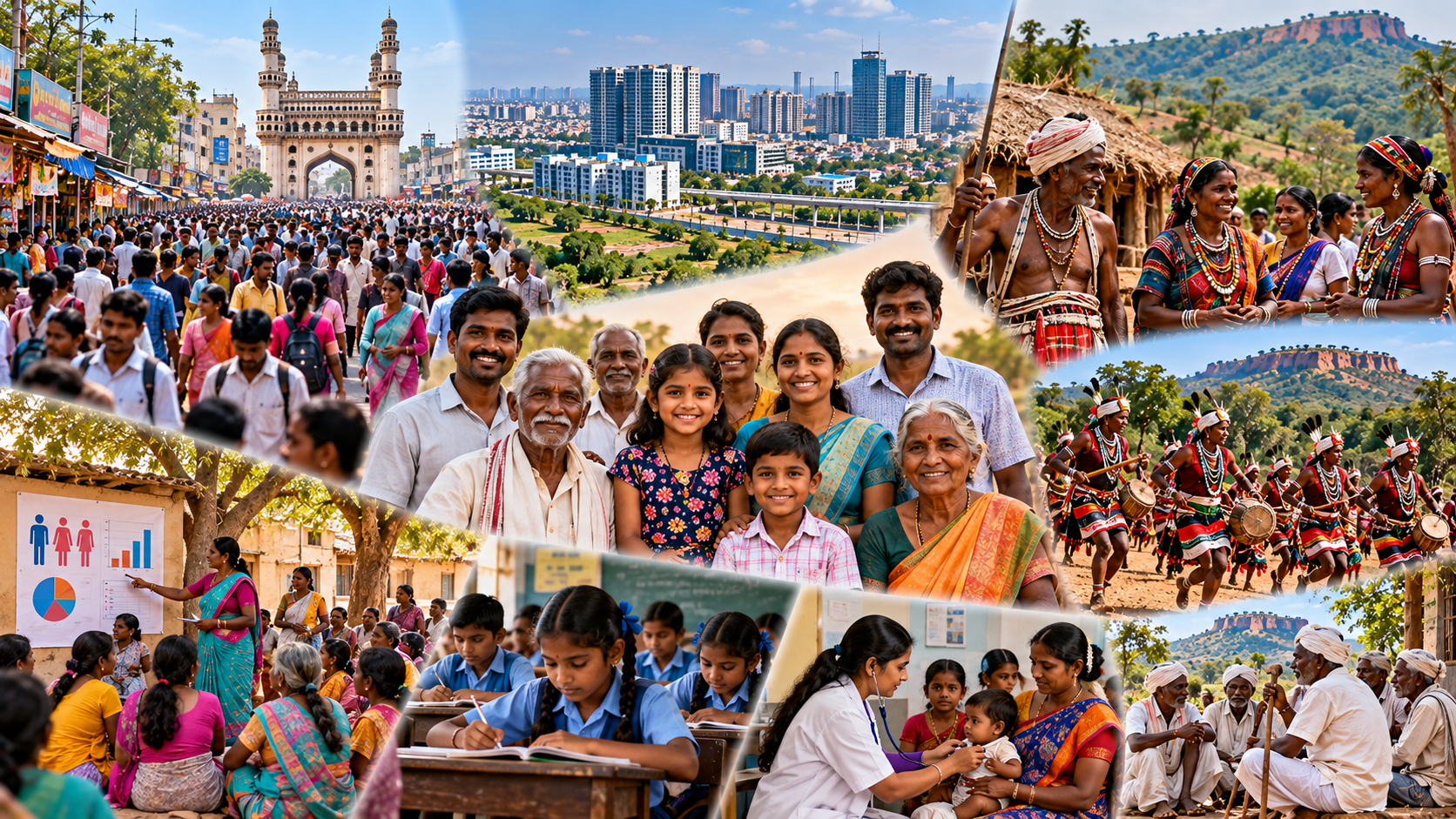
Population, Demographic Patterns and Tribal Geography of Telangana
10.1–10.3 Population, distribution, growth and density
- Telangana had 3,50,03,674 people in Census 2011, the latest completed Census.
- People crowd into the Hyderabad region and thin out in the forested north and north-east.
- Density is people per square kilometre; it is not the same as total population.
10.4–10.5 Demographic characteristics
- Sex ratio, age structure and literacy vary from place to place.
- In 2011, 38.88% of Telangana's people lived in urban areas; urbanisation is detailed in Chapter 11.
10.6–10.7 Tribal geography
- Scheduled Tribes were 9.08% of the present State's population in 2011.
- Tribal concentration follows the Godavari valley, the Adilabad hills and the Nallamala.
- Scheduled Areas are notified parts of only four undivided districts.
10.8–10.9 Problems and development
- Isolation, land pressure and weak services shape the problems of tribal areas.
- Area-based development works through a dedicated fund and four agencies, each an Integrated Tribal Development Agency (ITDA).
10.10 Map practice
- Locate the population core, sparse regions, tribal belts, Scheduled Area districts and the four agency headquarters.
Don't confuse
- A Scheduled Tribe is a group of people; a Scheduled Area is a notified piece of land. Many Scheduled Tribe members live outside Scheduled Areas.
The branches follow the chapter: population first, then its characteristics, then tribal geography and development. Notice that the confusion branch links the last two.