Start hereAbout 2 min
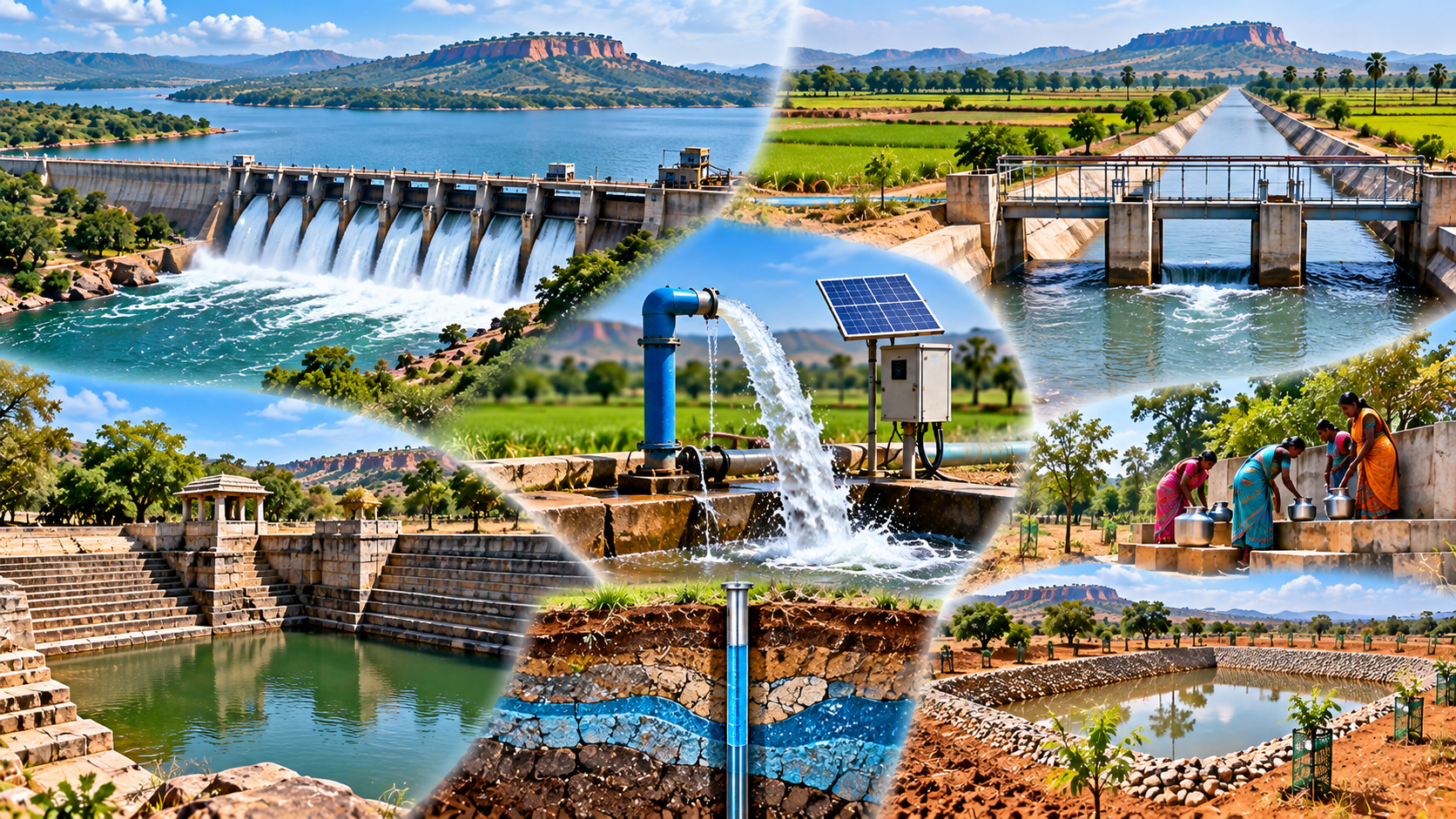
Chapter Overview Map
Irrigation, Groundwater and Water Conservation in Telangana
7.1–7.2 Where irrigation water comes from
- Irrigation is needed because Telangana's monsoon rain is seasonal and variable and its plateau surface sheds water quickly.
- Official statistics group irrigation sources as canals, tanks, tube wells, other wells and other sources.
- Wells and borewells irrigated about three-quarters of net irrigated area in 2013-14.
7.3 and 7.7 Canals, lifts and major projects
- Canals carry river water from a reservoir or barrage to a project's command area.
- On the plateau, lift irrigation pumps water uphill where gravity flow cannot reach the fields.
- Major projects lie in the Godavari and Krishna basins, such as Sriram Sagar and Nagarjuna Sagar.
- A project's planned command is not the same as the area actually irrigated.
7.4 Tanks
- Tanks store local run-off behind earthen bunds, often in chains where one tank's surplus fills the next.
- Tank-irrigated area fell sharply between the 1950s and the 2000s as borewells spread.
7.5–7.6 Groundwater
- Most of the State is hard rock, so groundwater sits mainly in a weathered zone and fractures.
- The 2025 assessment put the State's stage of groundwater extraction at 46.69%, with stress concentrated around Hyderabad and in some western and central districts.
7.8–7.9 Restoring and conserving water
- Mission Kakatiya (guidelines of 13 March 2015) set out to restore the State's minor irrigation tanks.
- Sustainability needs recharge and demand management together, not more structures alone.
Don't confuse
- A lift scheme that pumps river water is surface-water irrigation, not groundwater irrigation.
- Irrigation potential is designed capacity; irrigated area is what is actually watered in a year.
Notice how the branches move from water sources to systems, groundwater stress and finally conservation.