Geography · World Atlas
Six reference lines of the world
The earth's landforms and its ocean, and why each one sits where it does.
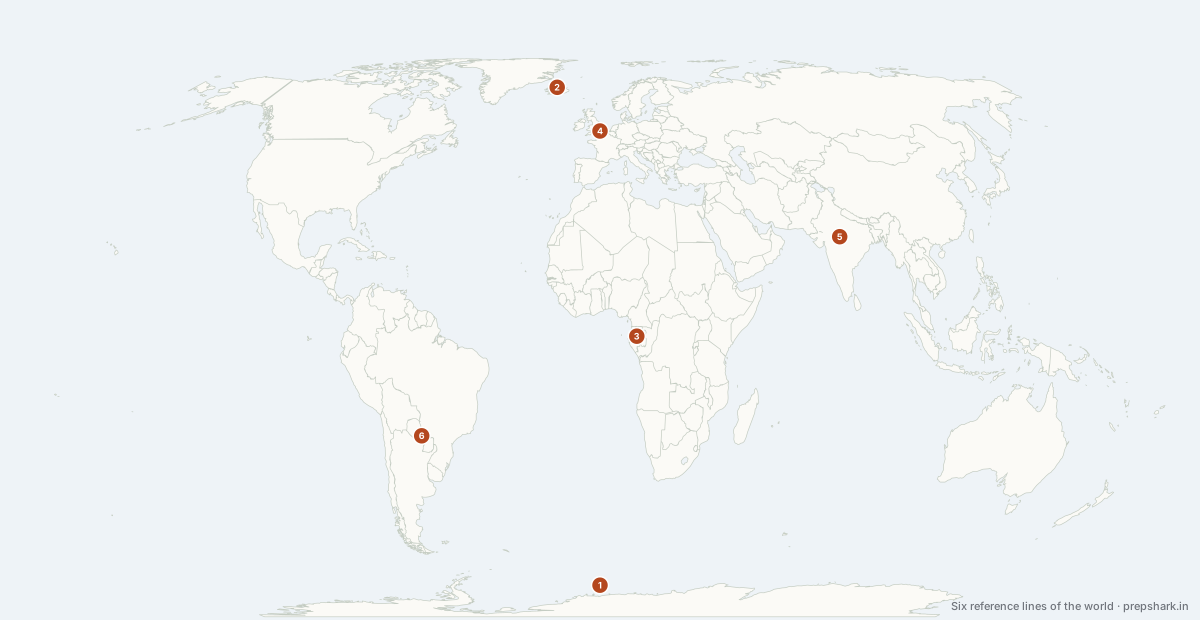
Numbered as on the map
The 6 on the map
1. Antarctic Circle
-66.56° latitude
Known forThe one reference line that crosses no country
The mirror of the Arctic Circle, and it crosses no country at all — only Antarctica and the Southern Ocean.
Settingline of latitude
For the examNo sovereign state lies on it. That absence is itself the answer.
2. Arctic Circle
66.56° latitude
Known forThe southern limit of the midnight sun
The southern limit of the midnight sun: at and above it, there is at least one day a year when the sun does not set, and one when it does not rise.
Settingline of latitude
For the examEight territories. Iceland is the trap — the Circle misses the mainland and clips only the island of Grímsey.
3. Equator
0° latitude
Known forThirteen countries, and no Asian mainland
The zero of latitude, where the sun is overhead twice a year and day equals night all year. It passes through only thirteen countries, and it crosses no part of Asia’s mainland — only Indonesia’s islands and the Maldives’ waters.
Settingline of latitude
For the examThirteen countries. Candidates add Kenya’s neighbours and drop São Tomé. It touches Somalia but not Tanzania, Uganda but not Rwanda.
4. Prime Meridian
0° longitude
Known forThe zero of longitude, and of every time zone
The zero of longitude, fixed at Greenwich in 1884, and the origin of every time zone. It crosses far less land than people expect — three European countries and five African ones.
Settingline of longitude
For the examEight countries. It passes through France and Spain but misses Portugal, Italy and Morocco entirely, and it crosses the Equator in the Gulf of Guinea — the point where both zeroes meet is at sea.
5. Tropic of Cancer
23.44° latitude
Known forThe northern desert belt, and eight Indian states
The northern limit of the overhead sun, on the June solstice. It runs through the great desert belt of the northern hemisphere — Sahara, Arabian, Thar — because the descending limb of the Hadley cell sits on it.
Settingline of latitude
For the examIt passes through eight Indian states. West to east: Gujarat, Rajasthan, Madhya Pradesh, Chhattisgarh, Jharkhand, West Bengal, Tripura, Mizoram. That list is asked more often than any other single fact in Indian geography.
6. Tropic of Capricorn
-23.44° latitude
Known forThe southern desert belt
The southern limit of the overhead sun, on the December solstice, and the southern desert belt with it — Atacama, Kalahari, Great Victoria all sit on or near it.
Settingline of latitude
For the examTen countries, and three of them are in southern Africa. Brazil is the only country crossed by both the Equator and a Tropic.
Keep going